Resource Library
Exploring Know Fire: K-8 Curriculum
Join us for an interactive journey through fire science, ecology, and prevention tailored for K-8 students, igniting curiosity and fire safety awareness while dreaming big to make wildfire education integral to Hawaiʻi's curriculum and safeguarding its future.
Island of Hawaiʻi Communities at Risk from Wildfires Assessment - 2014
Many communities in Hawaiʻi are at high risk of wildfire due to unmitigated fuels, limited community engagement, insufficient water and firefighting resources, and under-addressed pre- and post-fire planning and preparedness.
In line with its mission to protect communities and natural resources from wildfire through planning, mitigation, and education, HWMO has conducted hazard assessments for every community in the state. These assessments, coupled with the overall Communities At Risk From Wildfire Map update, will enable a more thorough understanding of wildfire hazards that can be addressed by communities, decision-makers, fire responders, and natural resource managers.
Communities at Risk Assessment map for the Island of Hawaiʻi.
Molokaʻi Communities at Risk from Wildfires Assessment - 2014
Many communities in Hawaii are at high risk of wildfire due to unmitigated fuels, limited community engagement, insufficient water and firefighting resources, and under-addressed pre- and post-fire planning and preparedness.
In line with its mission to protect communities and natural resources from wildfire through planning, mitigation, and education, HWMO has conducted hazard assessments for every community in the state. These assessments, coupled with the overall Communities At Risk From Wildfire Map update, will enable a more thorough understanding of wildfire hazards that can be addressed by communities, decision-makers, fire responders, and natural resource managers.
Communities at Risk Assessment map for Molokaʻi.
Lānaʻi Communities at Risk from Wildfires Assessment - 2014
Many communities in Hawaii are at high risk of wildfire due to unmitigated fuels, limited community engagement, insufficient water and firefighting resources, and under-addressed pre- and post-fire planning and preparedness.
In line with its mission to protect communities and natural resources from wildfire through planning, mitigation, and education, HWMO has conducted hazard assessments for every community in the state. These assessments, coupled with the overall Communities At Risk From Wildfire Map update, will enable a more thorough understanding of wildfire hazards that can be addressed by communities, decision-makers, fire responders, and natural resource managers.
Communities at Risk Assessment map for Lanaʻi.
Maui Communities at Risk from Wildfires Assessment - 2014
Many communities in Hawaii are at high risk of wildfire due to unmitigated fuels, limited community engagement, insufficient water and firefighting resources, and under-addressed pre- and post-fire planning and preparedness.
In line with its mission to protect communities and natural resources from wildfire through planning, mitigation, and education, HWMO has conducted hazard assessments for every community in the state. These assessments, coupled with the overall Communities At Risk From Wildfire Map update, will enable a more thorough understanding of wildfire hazards that can be addressed by communities, decision-makers, fire responders, and natural resource managers.
Communities at Risk Assessment map for Maui.
Kauaʻi Communities at Risk from Wildfires Assessment - 2014
Many communities in Hawaii are at high risk of wildfire due to unmitigated fuels, limited community engagement, insufficient water and firefighting resources, and under-addressed pre- and post-fire planning and preparedness.
In line with its mission to protect communities and natural resources from wildfire through planning, mitigation, and education, HWMO has conducted hazard assessments for every community in the state. These assessments, coupled with the overall Communities At Risk From Wildfire Map update, will enable a more thorough understanding of wildfire hazards that can be addressed by communities, decision-makers, fire responders, and natural resource managers.
Communities at Risk Assessment map for Kauaʻi.
Oʻahu Communities at Risk from Wildfires Assessment - 2014
Many communities in Hawaii are at high risk of wildfire due to unmitigated fuels, limited community engagement, insufficient water and firefighting resources, and under-addressed pre- and post-fire planning and preparedness.
In line with its mission to protect communities and natural resources from wildfire through planning, mitigation, and education, HWMO has conducted hazard assessments for every community in the state. These assessments, coupled with the overall Communities At Risk From Wildfire Map update, will enable a more thorough understanding of wildfire hazards that can be addressed by communities, decision-makers, fire responders, and natural resource managers.
Communities at Risk Assessment map for Oʻahu.
Communities at Risk from Wildfires Assessment
Many communities in Hawaii are at high risk of wildfire due to unmitigated fuels, limited community engagement, insufficient water and firefighting resources, and under-addressed pre- and post-fire planning and preparedness.
In line with its mission to protect communities and natural resources from wildfire through planning, mitigation, and education, HWMO has conducted hazard assessments for every community in the state. These assessments, coupled with the overall Communities At Risk From Wildfire Map update, will enable a more thorough understanding of wildfire hazards that can be addressed by communities, decision-makers, fire responders, and natural resource managers.
Communities at Risk Assessment map for all the major Hawaiian Islands.
Hāmākua CWPP - Updated 2024
CWPPs are vital for Hawaiʻis wildfire defense. HWMO leads region updates for community safety.
CWPP Meeting Schedule
Join us at the table for wildfire learning and risk-reduction action for your region!
East Honolulu CWPP - Updated 2024
CWPPs are vital for Oʻahus wildfire defense. HWMO leads region updates for community safety.
Be Prepared for Wildfire
In this infographic, we dive into some key points from the Ready, Set, GO! program. The main points to remember are to be prepared well in advance, pay attention to your surroundings and climate patterns, and leave early if there is an emergency.
Tips for Firewise Landscaping
In this infographic, we delve into how to design and maintain your yard to reduce wildfire hazards and enjoy the benefits of trees like cooling shade, reduced energy costs, and moisture & soil retention.
Lean, Clean, and Green
In this infographic, we delve into landscaping, offering valuable insights and practical tips for you while maintaining your yard. By implementing key strategies such as creating defensible space, increasing ember awareness, and optimizing plant spacing, professionals in the field can play a crucial role in protecting homes and communities from the threat of wildfires.
Exploring Know Fire: K-8 Curriculum at Waikoloa Wildfire Safety Park & Demonstration Garden
Join us for an interactive journey through fire science, ecology, and prevention tailored for K-8 students, igniting curiosity and fire safety awareness while dreaming big to make wildfire education integral to Hawaiʻi's curriculum and safeguarding its future.
Hawaii Prevents Wildfire 3rd-6th Grade Activity Book
Join Kaleo The Pueo in safeguarding Hawaii with our interactive activity book, offering engaging wildfire prevention activities for Kindergarten to 2nd grade students – print yours today!
Hawaii Prevents Wildfire K-2nd Grade Activity Book
Join Kaleo The Pueo in safeguarding Hawaii with our interactive activity book, offering engaging wildfire prevention activities for Kindergarten to 2nd grade students – print yours today!
Hawaii Prevents Wildfire Kaleo The Pueo Coloring Book
Join Kaleo The Pueo in protecting Hawaii from wildfires with our engaging coloring book featuring fun illustrations and valuable firewise tips - print yours today
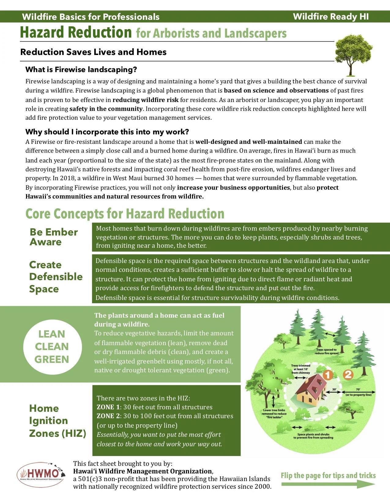
Hazard Reduction for Arborists and Landscapers
Discover Firewise landscaping techniques for arborists and landscapers to enhance community safety and reduce wildfire risk. Incorporate defensible space, ember awareness, and strategic plant spacing to safeguard homes and promote long-term resilience.
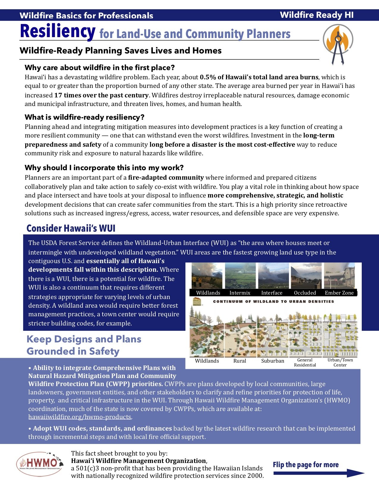
Resiliency for Land-Use and Community Planners
Download our two-page guide for land-use and community planners on integrating firewise strategies into long-term community resiliency planning, promoting safety and preparedness in high-fire-risk areas.


